Wildfire monitering in Central Oregon

I always like to keep track of what’s currently happening with wildfires and smoke in our area during the summertime. Here are the resources I use to know what the situation is:
Written summaries and updates
- Central Oregon Fire Information – Fire information and press releases from local agencies and organizations. Daily updates in the summer and periodic updates on specific wildfires in our area.
- Central Oregon Fire also has a helpful Twitter account: twitter.com/centralorfire
- COIDC Morning Brief – This PDF file is uploaded new each morning during fire season and contains a summary of the previous day’s activity, focusing on Oregon and Washington.
Incident reports
- Wildweb – Every reported wildfire and smoke check within the Central Oregon area.
- Fire, Weather & Avalanche Center – A mapped representation of the raw data reported in WildCAD. While this is useful for seeing current fires and containment statuses, the map is slow and the site is somewhat buggy. To make things a bit better:
- Turn off the 24-hour lightning layer and zoom in on Oregon (or your state). Open the user menu and click “Save Map”.
- It will say “Saving” and continue spinning, but it does save and you can refresh the page to see the map as you have configured it.
Interpreting this data
Remember that Wildweb lists every report, including:
- Smoke checks
- False alarms
- Campfire checks
- Single-tree fires and other small hot spots
Bear in mind that authorities will take more steps to publicize fires that are worthy of public note and attention.
Air quality
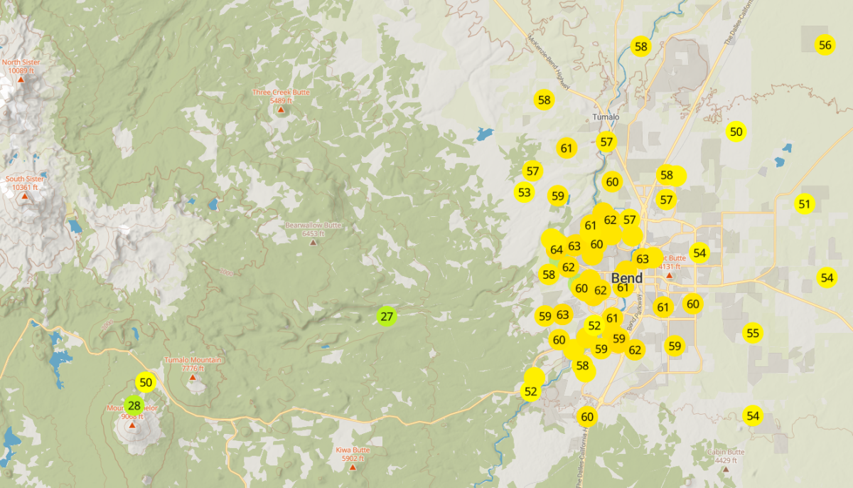
- PurpleAir – With PurpleAir sensors fairly ubiquitous in our region, this is a more granular way to view air quality in your immediate area than the official sensors in your town. The URL for this map has been configured to:
- Use the US EPA conversion formula for the sensors so they measure particulates the same as the official sensors.
- Centered on the Bend area
- As you move the map or change settings, the URL will change accordingly, so you can keep the new URL when the map looks good to you.
- Zoom Earth – Live satellite maps, usually lagging about half an hour behind real time. Useful for seeing where the smoke is and where it’s coming from. Best during midday when the sun is shining straight on your area.
Sort of Related
- Flightradar24 – Live flight tracking map. You can see where helicopters, smoke jumpers, and other fire-related air traffic is going.